Trails
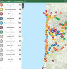
Our online trail and recreation map is a great source for trails and outdoor recreation throughout Tillamook County. You’ll also find campgrounds, boat launches, and beach and water access points. For south Tillamook County, we recommend these trails:
The one-mile round-trip trail through old growth forest takes you to the waterfall, tumbling 319 feet, the tallest waterfall in the Coast Range. Open year-round.
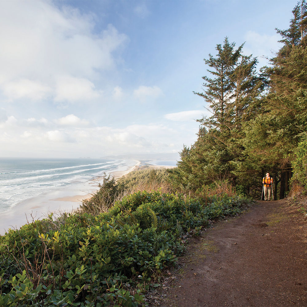
Just north of Pacific City on the Three Capes Route, is one of the Oregon Coast’s most popular places for hiking. Cape Lookout State Park offers several trails, some short, some more challenging. Download a trail map.
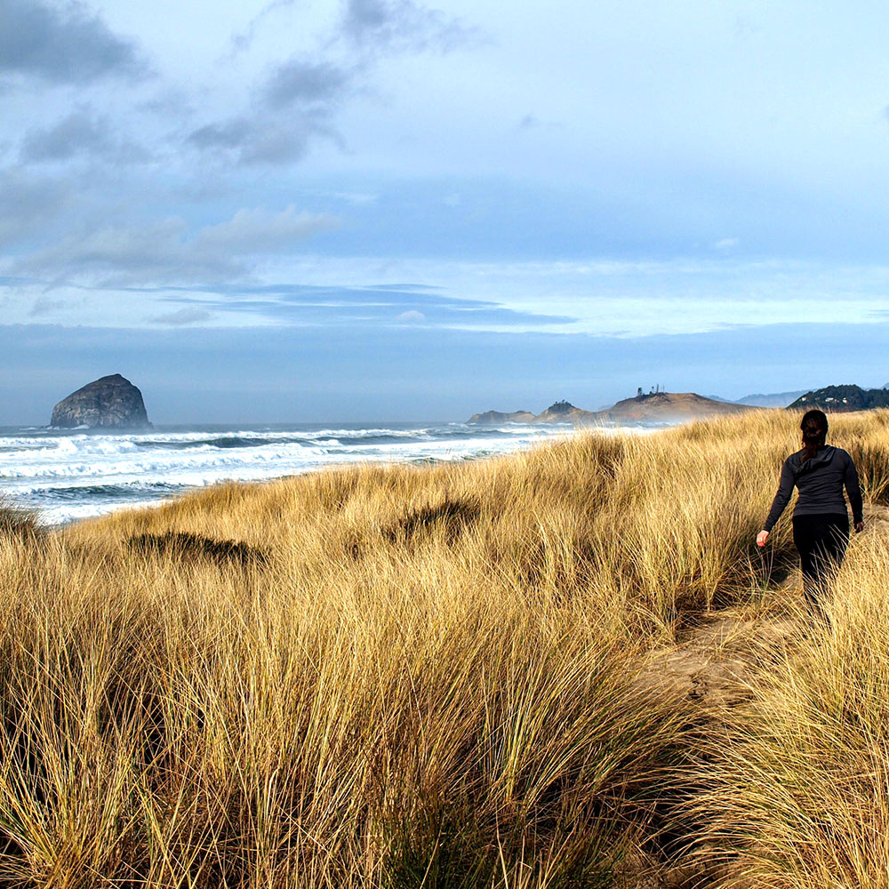
Just a mile south of Cape Kiwanda, Bob Straub State Park is one of our “secret” beaches with trails for people and horses, including the Nestucca River sand spit. Open year-round for day use.
Just north of Tierra del Mar on the Three Capes Route, Sitka Sedge offers 3.5 miles of looping trails, including the 1/2-mile-long Beltz Dike Trail that leads from the parking area west through Sand Lake Estuary and forested dunes to the beach. Open year-round for day use.

This 4.70 mile loop trail near Neskowin is rated an easy route, taking less than 2 hours to complete. This “secret” trail is great for hiking, trail running, and walking. Dogs are welcome, but must be on a leash.
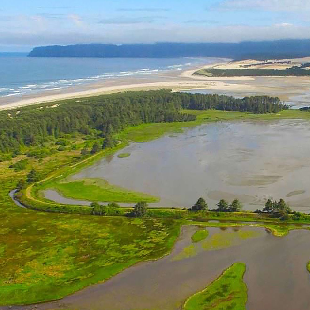
This 2.7-mile, loop trail is part of the Nestucca Bay National Wildlife Refuge, between Pacific City and Neskowin. near Pacific City, Oregon. This is a popular trail, but you can still enjoy some solitude during quieter times of day. Dogs aren’t allowed on this trail.
View the Tillamook County Trails & Recreation Map
From detailed trail information to campsites to picnic areas, this mapping tool will help you plan your next outing to our part of Oregon’s north coast.